
Site Plan of South America Photos, Dec 2007 *
b) Estancia San Miguel (Argentina)
c) Iguazu Falls (Argentina & Brazil)
d) Montevideo (Uraguay)
e) Punte del Este (Uraguay)
f) Puerto Madryn (Argentina)
g) Straits of Magellan (Argentina & Chile)
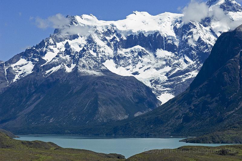
h) Torres del Paine National Park (Chile)
i) Punta Arenas (Chile)
k) Laguna San Rafael (Chile)
l) Puerto Chacabuco (Chile)
m) Puerto Montt (Chile)
n) Valparaiso (Chile)
o) Santiago (Chile)
g) Faces of the Silverwind Cruise
* A suggested way to view most photos.
1. Read the HELP (excellent). It is found at the
very bottom of each photo and each gallery.
2. A good way to view the photos is in slideshow
format. From gallery mode click a photo, then click
the right most button on top right. All photos in
entire gallery will be shown every 3 seconds. Space
bar stops/starts the slideshow.
3. Several photos have GPS readings at bottom of the
photo. When this data is present, click on 'MAP'.
You will automatically be taken to Google maps and the
exact spot where the photo was taken will be
displayed. I encourage you to try this on a few
photos. The technology is amazing. This is one of
the newest technologies and will become increasingly
common over the next few years.
4. Note that most photos are labeled. It is meant to
compliment the photo and can be found in the comments
below the photo.
THIS IS A HOBBY. I WOULD APPRECIATE ANY SUGGESTIONS
OR COMMENTS OR NOTATIONS OF ERRORS.