|
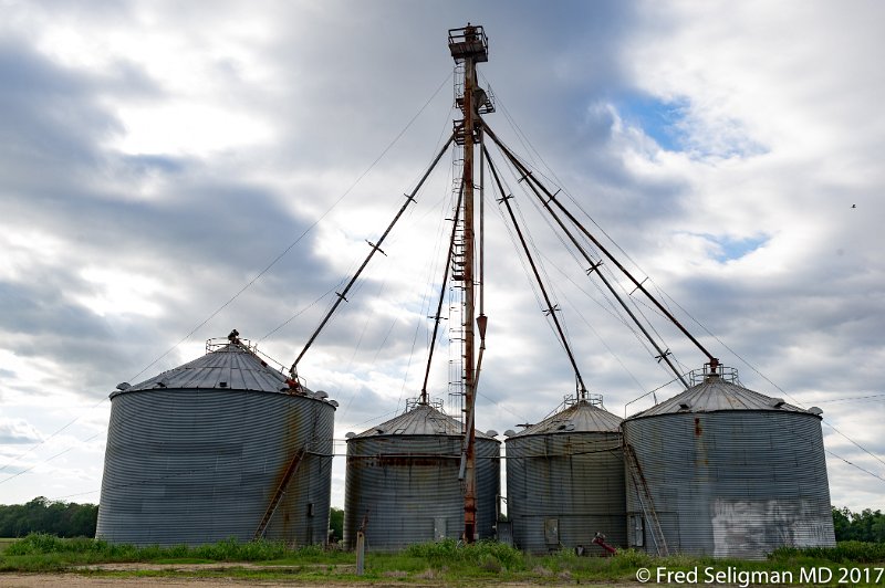 |
| Route 61, lower Mississippi Delta |
| Photographer: Fred Seligman MD | Camera: NIKON D3S | Date: 4/23/17 5:31 PM | ISO: 200 | Exp. Time: 1/320s | Aperture: 7.1 | Focal Length: 35.0mm (~35.0mm) | Latitude: N 32°42'23.01" | Longitude: W 90°56'5.72" | Altitude: 33 metres | GPS time: 22:31:55 UTC | City: Rolling Fork | State/Province: Mississippi | Country: United States | Copyright: © 2017 Fred Seligman MD | Caption: Route 61, lower Mississippi Delta | See map |
| Total images: 200 | Fred's Homepage | Fred's website | Help |